


Supporting humanitarian response by mapping areas home to one billion people
There are currently one billion people missing from the world's maps. HOT will engage one million volunteers to map places home to one billion people living in poverty or at high risk of disaster.
Relevant Stats
Paragraph introducing any relevant stats.
Project
Description
Problem
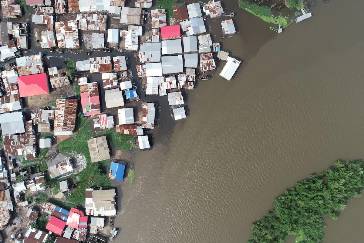
There are currently one billion people who live in places that are not on the map. These places are often at high risk of disasters or have high levels of multidimensional poverty. Maps are essential in humanitarian response, as well as providing healthcare and other basic services like water, sanitation, and education. Maps provide crucial data about where and how people live — including homes, hospitals, roads, and rivers. Maps created by for-profit companies are usually driven by a business case; such as advertising or data sales. This approach leaves out many lower income places because it is not profitable to map those areas. Without a map, it is impossible to dispatch humanitarian workers effectively, plan a vaccination campaign, or trace the spread of diseases, leaving vulnerable places without access to humanitarian aid.
Big Idea
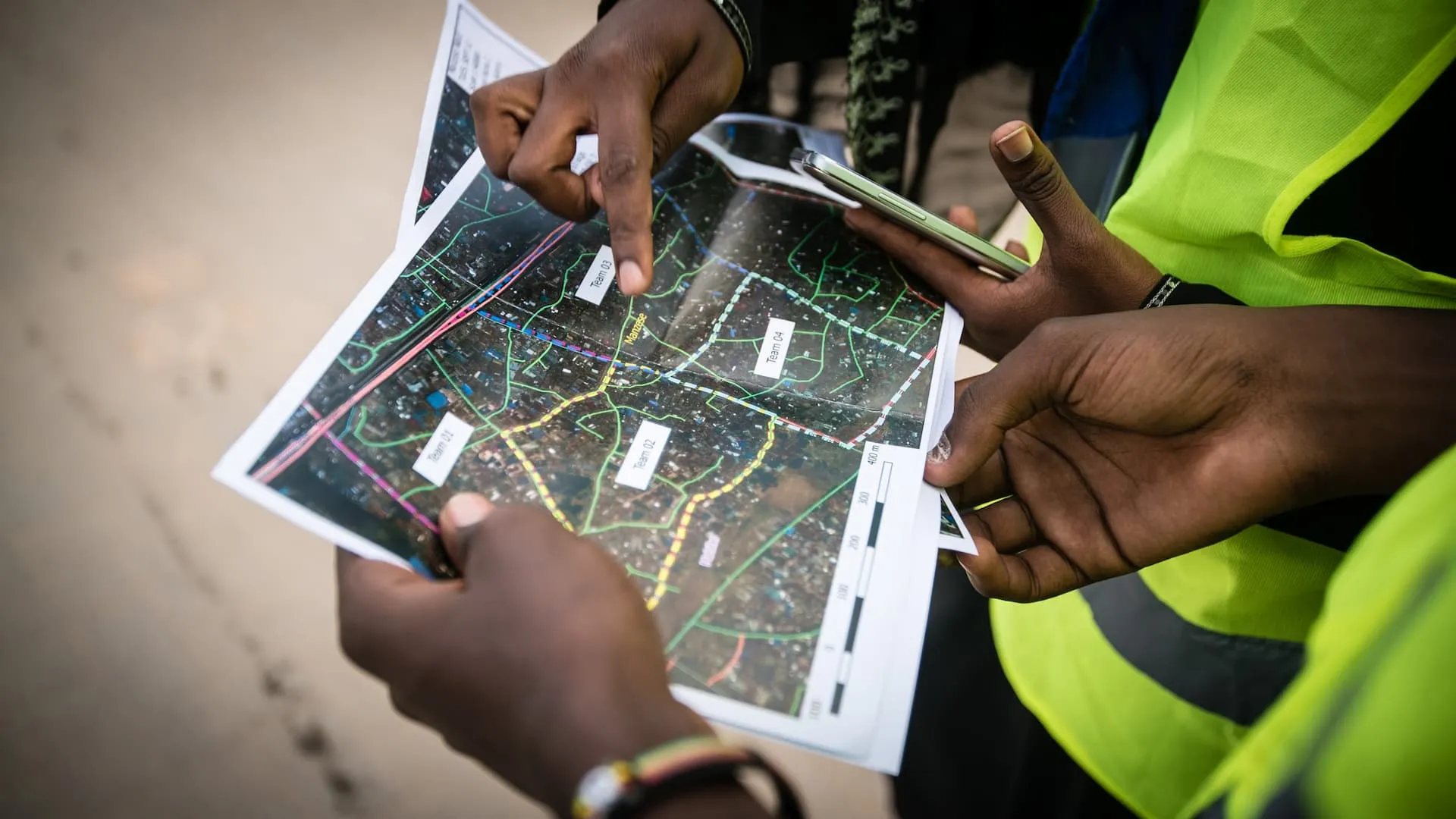
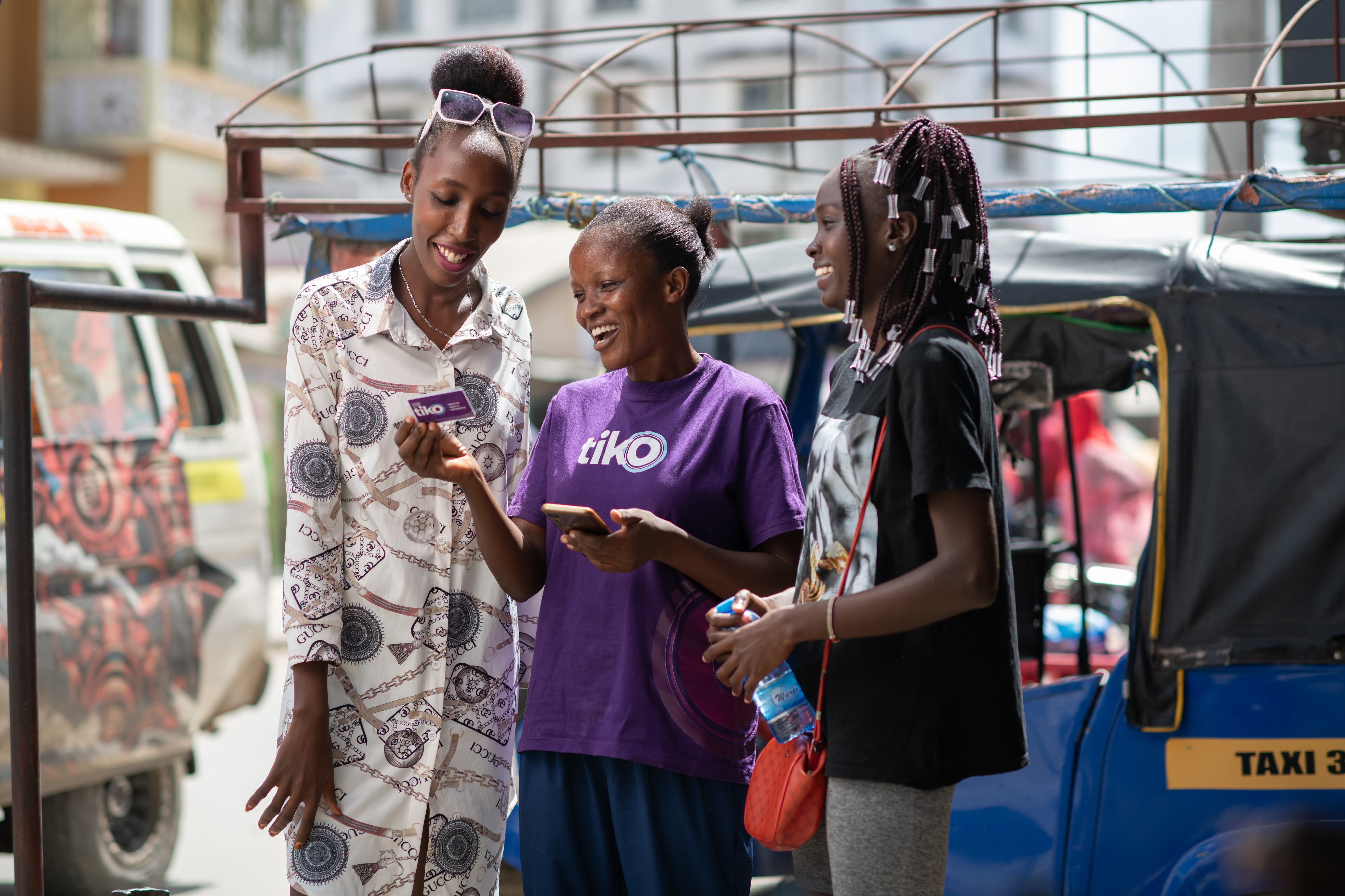
For the past ten years, the Humanitarian OpenStreetMap Team (HOT) has been the global leader in community mapping, supporting humanitarian responses to nearly 100 disasters and crises. Now with Audacious support, over the next five years HOT will engage one million volunteers to map places home to one billion people who are living in poverty or at high risk of disaster in 94 countries. This intervention will help to ensure those communities don’t get left out of life-saving assistance and life-improving services. Using simple but powerful technology, HOT engages community members to contribute their local knowledge to OpenStreetMap, the world’s free and open map. Then, by partnering with some of the world’s largest NGOs, agencies, and governments, HOT makes sure that maps are put to effective use in areas that need it most.
Plan
To achieve this vision, HOT will: 1) Grow its global community of mappers around the world, engaging them in two ways: First, as remote volunteers who draw the outlines of buildings and roads on high-resolution satellite images to create basemaps, and second as local volunteers that use basic smartphones to validate those features and add local details like village names, and identifying key infrastructure like healthcare services and schools. 2) HOT will set up a network of regional hubs to provide training, support, and Microgrants for mapping in 94 countries. 3) Invest in technologies to make mobile contributions to the map possible on a massive scale. 4) Coordinate with humanitarian responders to rapidly provide data where it’s needed most. 5) Raise awareness so local aid projects across the world know that OpenStreetMap is free and available for them to use and that they can request maps of the areas they are working in.
Why will this succeed?
Since 2010, HOT’s global network has mapped an area home to more than 150 million people worldwide, by engaging more than 200,000 volunteer contributors in over 50 countries. When a devastating earthquake hit Haiti in 2010, HOT volunteers mapped the impacted area; these maps were then used by the US Marine Corps for search and rescue, freeing hundreds of people trapped in collapsed buildings. HOT’s deep experience working with governments and humanitarian agencies like the Red Cross and United Nations (UN) agencies has put OpenStreetMap to effective use in responding to over 92 disasters and crises. HOT’s partners have also used OpenStreetMap to reach a 95% vaccination rate for measles in the DRC, generate a 27% improvement in tracking patients’ residences during Ebola response efforts in Sierra Leone, and helped malaria spray campaigns reach 80% of homes in remote parts of Mozambique.
Project Impact
Recent Updates
Bloomberg
When Climate Disaster Strikes, Slums Are Vulnerable. Better Maps Help
When Climate Disaster Strikes, Slums Are Vulnerable. Better Maps Help
A group of nonprofits are mapping informal settlements to make aid distribution, reconstruction and resilience planning easier.

Freethink
Maps say this place doesn’t exist. But that’s not true
Maps say this place doesn’t exist. But that’s not true
Millions of people live in unmapped regions around the globe. Here’s why it’s critically important that we help close map data gaps.

.jpg)


.jpg)

